Karst and civil engineering challenges in Twan and Muttenz

Leader: Pierre-Yves Jeannin (ISSKA)
Overview: Part 1 – Tunnels near Twann
The field trip will bring you first in Twann along lake Biel where three tunnels are being built since more than 35 years. Tunnels are located close to karst springs used for drinking water supply, between perenial springs near the lake and overflow springs ~50 meter higher in elevation. During the digging of the tunnel conduits were cut, bringing up to 2000 L/s of water in the tunnel under high-water conditions. The situation was so difficult that this part of the tunnel was abondonned.
A new tunnel was built between 2015 and 2020, then a third one is under construction in the vicinity. The abandoned tunnel is now reassessed and will be drilled within the coming years. A complete monitoring of this region is available to assess heads and discharges rates, from which a detailed pipe-flow model could be calibrated. This model is now being used for assessing scenarios for managing water inrush in the future tunnel.
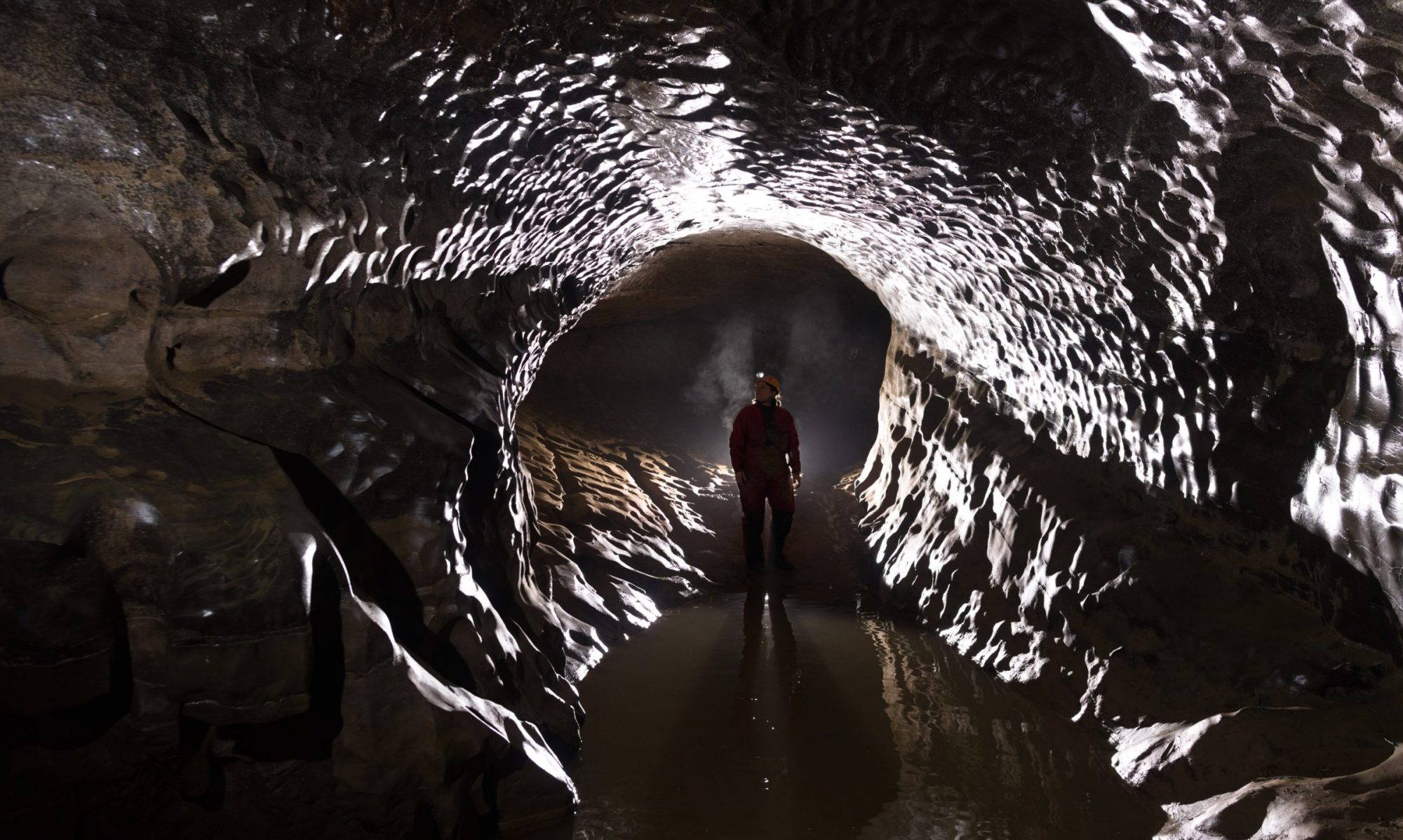
The perennial and overflow springs will be visited, including the entrance of a cave close to the top of a water fall. Explanations will help you to understand the groundwater flow system feeding the springs, and the way pipe flow hydraulics could be modelled.
Part 2 – Instabilities near Muttenz
After a bus ride through the Jura Mountains, with a stop for lunch, we will arrive in the Basel region, specifically in the small town of Muttenz, whose subsurface contains layers of limestone, anhydrite/gypsum, and salt (NaCl). The presence of these various soluble layers at depth has caused local collapses, as well as a gradual subsidence of the entire southern part of the city (~1 km²) at a rate of up to 1 cm per year.
The hydrogeological conditions here are heavily influenced by urbanization, which has completely altered groundwater flow: artificial recharge of the aquifer for drinking water, water pumping for industry, sealing of certain surfaces, and raising the level of the Rhine to generate electricity. The changes are such that freshwater flows have reached the top of the salt layers. The resulting dissolution is strongly suspected of causing the observed subsidence.
We will visit the various infrastructure sites and examine the boreholes and investigations conducted to provide evidence of water flow at the top of the salt layer, causing subsidence. We will also discuss the specific conditions related to disturbances caused by the caverns excavated for salt mining 2 km further east.
The bus drive back to Neuchâtel will take about 2 hours.

Difficulty: Easy
Date: Thursday 03/09/26
Time: 8:00 am to 7:00 pm
Max number of participants: 50
Cost: